This may look like a regular mountain meadow, but it has an interesting history. A local historian told me this story a few years back, hopefully Im remembering it right!
Apparently during the Indian Wars (1850s-1860s), the US carvery had captured a number of Nongatl Indians and were taking them to the Round Valley reservation in Covelo. By some luck, the Indians managed to escape. However their luck was not long lived, as they were attacked by Lassic Indians on their way home. When the survivors made it back to their territory with their tale, they set upon their revenge, with a little help from their neighbors.
It was at High Salt Ground where a coalition of tribes (Nongatls, Whilikuts, and Chilula) gathered before heading south to battle with the Lassic Tribe. This was in 1863.
This is a surprising story (to me) considering the amount of pressure all of the aboriginal people were facing from the US Calvary – who had been fighting with all of the tribes for over a decade. Chief Lassic had many incursions with the foreign invaders himself, being captured and escaping many times. Was this the best time to battle other Indians when they all were being attacked by the whites? Obviously these were people of principle, and when war was need, they were not making any exceptions.

Shell Fragment. We know that these major ridges were used extensively by the native peoples for centuries, perhaps longer. Shells were highly regarded and often used to make beads and other items. Does this explain how I came across this piece of shell at 4,600′ and over 40 miles from the ocean?

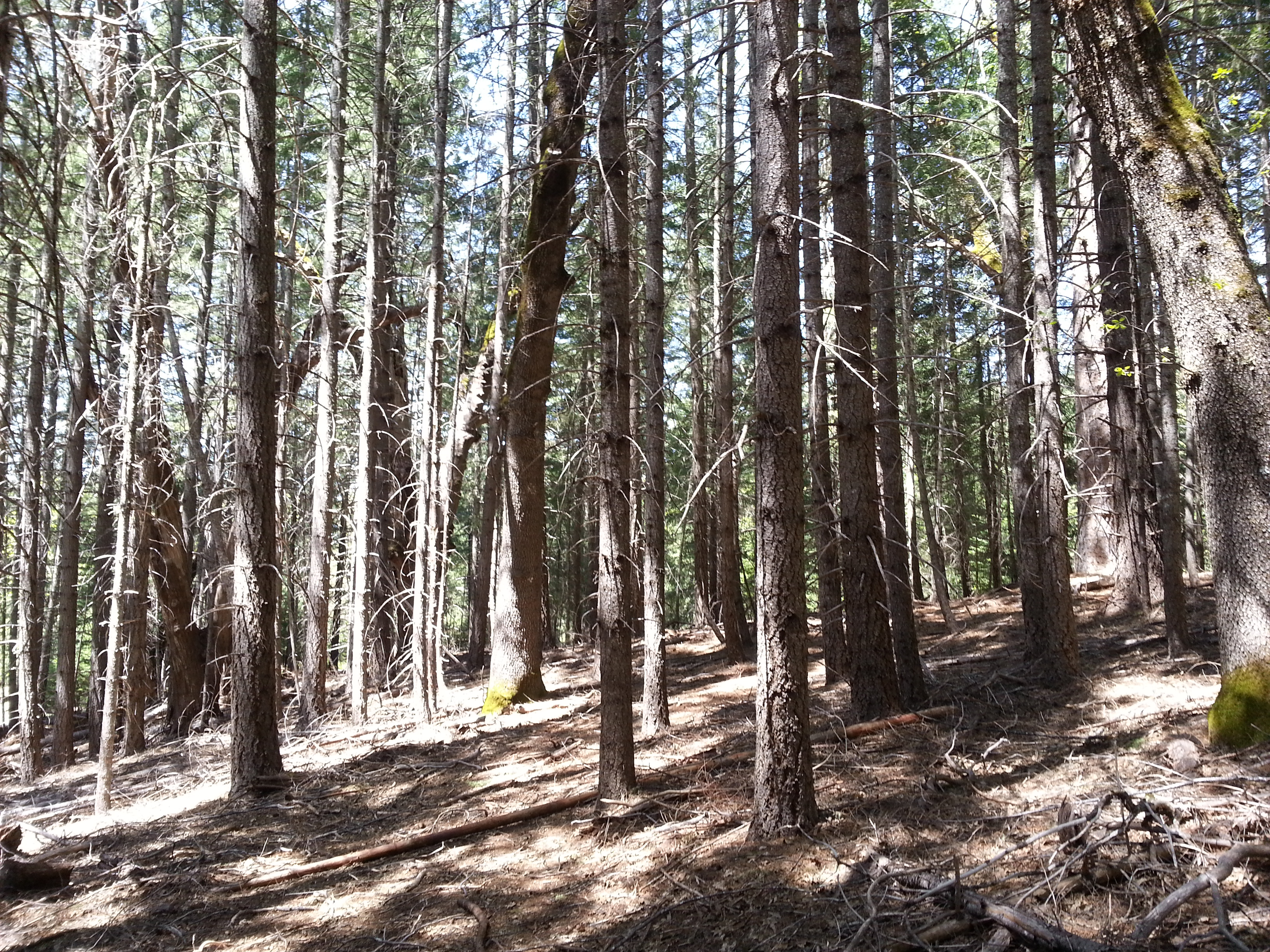
Pilot rock pokes up from behind the hill. And on the distant horizon, Black Lassic is the highest point. Here, the warparty danced and prepared for battle looking across into enemy territory.

Pestle. This old tool caught my eye as I was walking through the meadow. Tucked in a pile of rocks, I pulled it out and found the smoothed bottom surface from years of pounding.